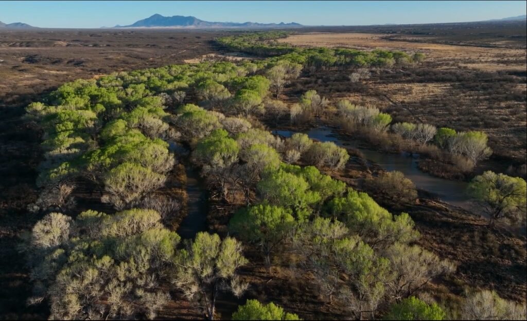
Since 1999, Wet/Dry data has been collected along the San Pedro from its upland tributaries in Mexico to approximately 174 miles north to its confluence with the Gila River near Winkelman, Arizona.
The San Pedro River wet/dry mapping dataset is a partnership effort of numerous entities and organizations with hundreds of land owners to track the river’s health by monitoring the persistence of surface water during the driest time of each year.
Wet/Dry data is created “by recording the end points of every wet section of the San Pedro River during the month of June. Maps are then created and published depicting the wet portion of the San Pedro River.” See more detail about the program and application of the data.
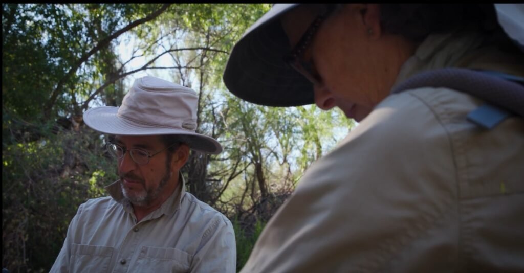
From 2007 to 2023, six CWA volunteer teams collected data from Escalante Road to just north and east of Willow Ranch, approximately 23 miles of river channel. In 2024, two teams focused efforts on providing continuity of data by hiking 5 miles of historically wet reaches from Escalante Road to the St. David Bridge on Highway 80.
When long-term CWA volunteers were asked why they repeatedly show-up at 5:30 A.M. to hike the San Pedro during the hottest, driest part of the year, they are quick to respond, “That’s easy – the San Pedro River and the St. David Cienega are an important part of our culture and protecting it for the next generation is a goal all CWA volunteers share.”
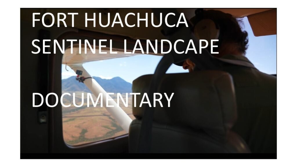
FORT HUACHUCA SENTINEL DOCUMENTARY TEAM JOINS CWA ON THEIR TREK TO COLLECT WET/DRY DATA JUNE 2024. FOOTAGE INCLUDED IN DOCUMENTARY AS DR. HOLLY RICHTER EXPLAINS THE IMPORTANCE OF THE WET/DRY DATA IN THE DECISION MAKING PROCESS FOR A RESILIENT LANDSCAPE AND THE SPRNCA. Time Marker 35:40
CWA long-term volunteers Laura White and Steve Marlatt. Thanks to landowner ELQUEN LLC for the opportunity.
LEARN MORE ABOUT THIS ESSENTIAL EFFORT CONTRIBUTING TO NATIONAL SECURITY
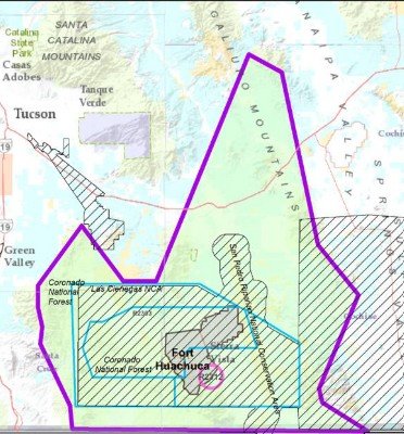
Click Image for Large Ft. Huachuca Sentinel Landscape Map and Brochure
In 2015, a group of partners came together to form the Fort Huachuca Sentinel Landscape. The primary goal of this landscape is to build resilience through collaborative, community-driven strategies, in order to tackle issues such as water conservation, agricultural viability, wildlife habitat restoration, and military mission protection including the Fort’s critical airspace and electromagnetic technology testing and training. Learn More
Additional CWA Projects on Biannual Action Plan
Redesign More User-Friendly Website and Implement Structured Update Schedule
Focus on enhancing membership accessibility to the latest water news, resources to track water management, ongoing data bases and relevant studies within the Upper San Pedro Water Basin and those adjacent.
Build Data Library for Quick Access to Cienega Historical Data and Planning
Combine independent digital data sets into central cache with directory for quick accessibility to historical interviews, studies, treatments, maps, restoration discussions and efforts.
Maintain Boots on the Ground ......
Monitor websites of adjacent watershed organizations, research and policy entities, legislative trackers, etc. to keep members aware of opportunities to volunteer, network, support action and programs that further the mission of CWA. Represent CWA at regional watershed meetings such as San Pedro Riparian NCA Riparian Working Group.
Restore Cienega Interactive Photo Map
Research and implement best strategy for long-term organization of photo library that is accessible by interactive map.